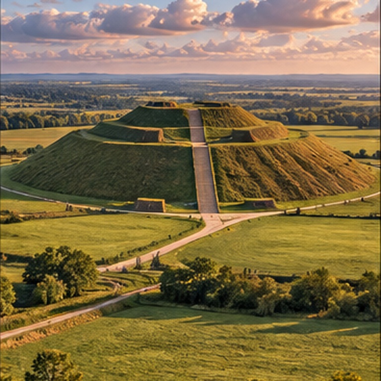
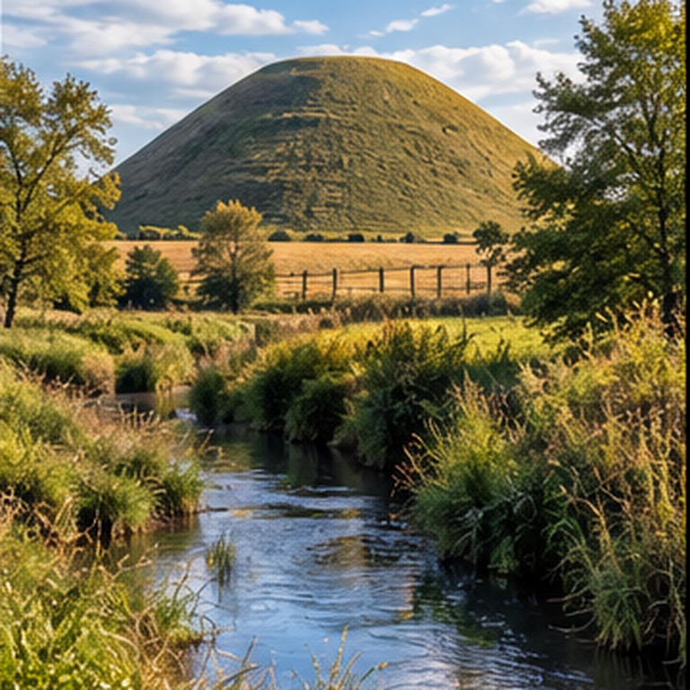
| Date | Late Neolithic construction, enlarged through successive episodes | About 2470–2350 BC | Modern excavation, environmental evidence and scientific dating | Exact duration and social organization of every building episode |
| Height | Largest prehistoric artificial mound in Europe | Over 30 m; Historic England scheduled record: 39.3 m | Modern topographic survey and official monument records | Differences depend partly on measurement datum and definition of the base |
| Diameter / Width | Massive roughly circular, flat-topped mound | About 160 m; scheduled record: 167.6 m diameter | Survey and monument mapping | Original summit profile is under study |
| Material / Mass | Constructed principally from chalk with soil and turf components | About 500,000 tonnes | Construction studies and English Heritage estimates | Exact quantities placed during individual phases |
| Estimated Labor | Construction demanded extraordinary organized human effort | About 4 million labor-hours | English Heritage construction estimate | Workforce size, seasonal schedule and social obligations of builders |
| Construction Method | The mound developed through multiple enlargements; retaining elements helped control material | Several generations of construction | Excavation and structural investigation | How the work was directed and what ceremonies accompanied construction |
| Surrounding Ditch | A broad quarry ditch supplied much of the mound material and surrounds the monument | Ditch system extends well beyond the mound | Visible earthworks, excavation and survey | Whether water in portions of the ditch had symbolic importance |
| Burial Evidence | No central elite burial has been demonstrated despite repeated attempts to find one | No established primary burial | Historic tunnels, shafts and modern archaeological investigation | Whether burial ever formed any part of the monument's purpose |
| Avebury Relationship | Silbury stands within one of Britain's richest Neolithic ceremonial landscapes | Near Avebury henge, West Kennet Avenue, the Sanctuary and West Kennet Long Barrow | Landscape archaeology and World Heritage documentation | The precise functional relationship among the monuments |
| Orientation / Alignment | Its landscape placement is clearly significant; no single astronomical orientation is established by official archaeological interpretation | No confirmed solstice/equinox axis assigned | Landscape survey and official archaeological records | Whether celestial observation influenced siting or design |
| Historic Excavations | Antiquarian and modern investigators repeatedly entered the mound searching for its origin and purpose | Major investigations include 1776–77, 1849 and 1968–70 | Excavation records and surviving tunnels | Damage and incomplete documentation complicate interpretation |
| 2000 Collapse | The old Duke of Northumberland shaft reopened after heavy rain, creating a dangerous summit cavity and prompting conservation work | Collapse began May 2000 | English Heritage monitoring, geophysical work and conservation records | Long-term effects of older intrusive excavations required extensive investigation |
| Original Purpose | The scale indicates enormous social and cultural importance | Unknown | Monumental investment and landscape context | Why it was built remains under continued study |
| Giant Association | No established archaeological association with giants | None established | Archaeological record | Later legends or historical accounts must be evaluated separately from the excavated evidence |